Hosted & ready
congrega Online
We operate congrega for you. Start without your own hardware and receive updates automatically.
- EU-based operation
- No infrastructure to maintain
- Automatic updates and maintenance
congrega brings together territory management, meeting planning, ministry and day-to-day organisation — on iPhone, Android and the web.
Personal onboarding · Online or on your premises
Operation
Online or local
Platforms
iOS, Android & web
On the go
Keep working offline
Access
Role-based & traceable
One platform, four areas
Each module works on its own. Together they create a calm, dependable workflow for the whole congregation.
Territories
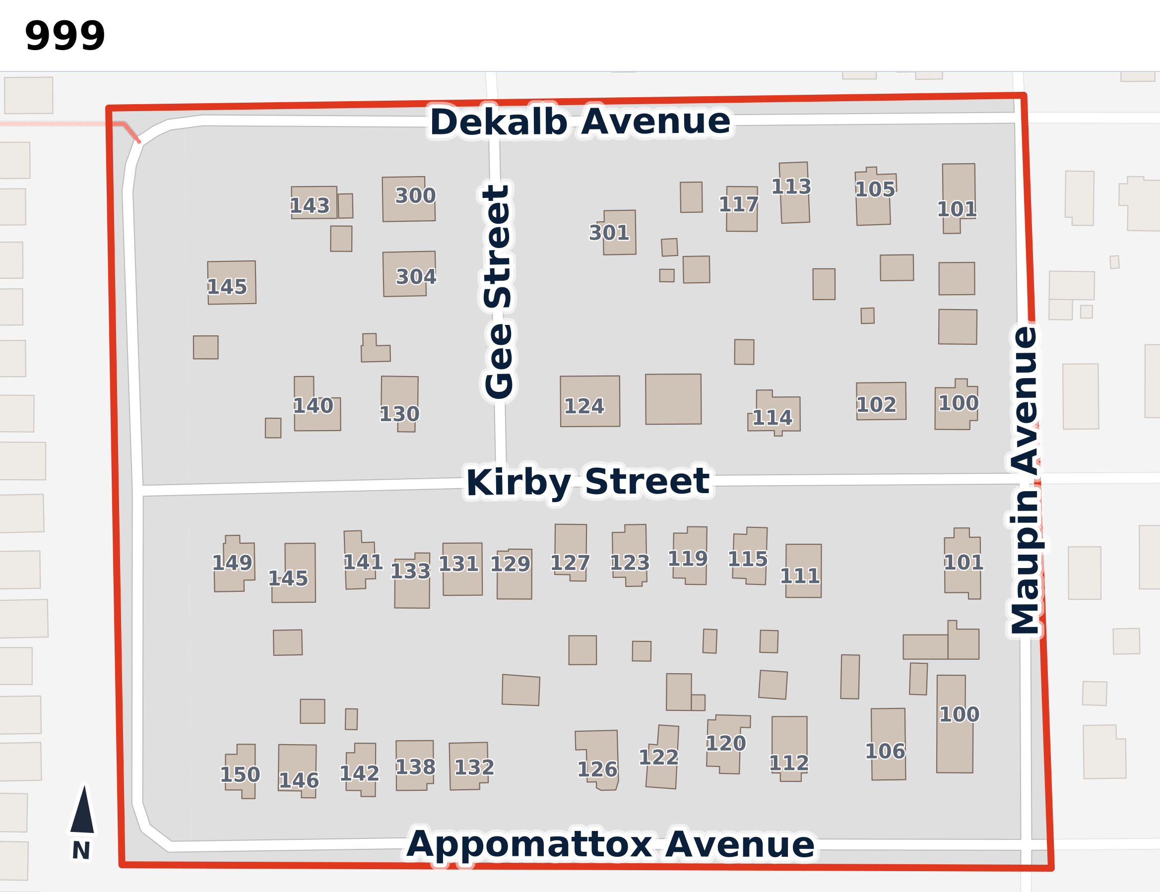
Assign territories, work together, use clear maps and keep progress visible — even on the go and offline.
Meetings
Prepare meetings, match assignments, track responses and show everyone exactly what matters to them.
Ministry
Submit monthly ministry reports quickly, spot missing reports and organise service meeting points centrally.
Organisation
Announcements, groups, cleaning, maintenance, Memorial planning and notifications work together on one platform.
How congrega works
Those responsible plan centrally. Everyone sees only what matters for their role and next step.
Modules, roles and workflows are set up for your congregation.
Assignments, territories, reports and notices reach exactly the right people.
Changes, responses and history come together in one place.
One shared picture
Assignments, territories, responses and notices no longer live in disconnected lists. Roles and permissions still ensure everyone sees only what they need.
Assignment confirmed
Reading · Thursday, 19:00
Territory 112 assigned
To North group · today
New announcement
For the whole congregation
Ministry report received
July · complete
Ready everywhere
The same familiar platform on iPhone, Android and the web. Important territory information remains available offline and syncs later.
Fast, familiar interaction, push notifications and dependable use on the go.
Plan, administer and review comfortably on a computer or tablet.
Your own territories and important information remain usable and sync automatically later.
MY TERRITORIES
Available offline
Available offline
Available offline
Your data, your decision
Both editions provide the same modules and personal onboarding. The difference is where congrega runs for you.
We operate congrega for you. Start without your own hardware and receive updates automatically.
congrega runs on preconfigured hardware in your local network. Personal data stays entirely with you.
A simple start
We understand your current processes and choose the modules that fit.
Roles, users and existing territory data are prepared in a structured way.
Those responsible receive a clear introduction; congrega can then grow with you.
Frequently asked
Still wondering about something? Email us at contact@congrega.org.
Yes. congrega is available on the web, iPhone and Android. Access is currently set up personally with each congregation.
No. Areas are enabled per congregation. Start with one module and expand later.
We operate congrega Online for you. congrega Local runs on hardware on your premises. The interface and modules stay the same.
Important territory information can be used offline in the mobile apps. congrega Local can additionally run within your own local network.
Yes. KML, GeoJSON, CSV and other common formats can be imported and reviewed together.
Roles and granular permissions determine who can view or edit information. An activity log adds traceability.
We do not currently publish a fixed price list. After a brief conversation, you receive a transparent offer based on edition, modules and setup effort.
Ready for less organisational overhead?
Tell us briefly what you organise today. We will respond personally and show you a fitting way to start.